Washington statewide field guide
One state.
Two climates.
Endless ways in.
Cross saltwater, mountain passes, orchard country, and open sky.
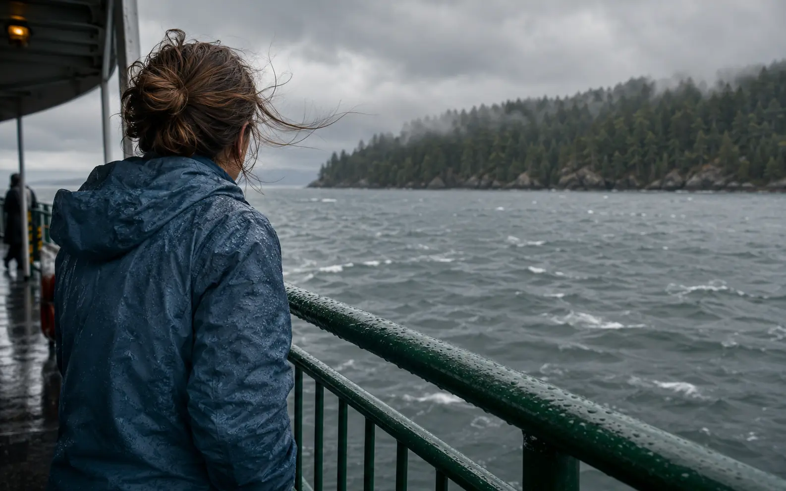
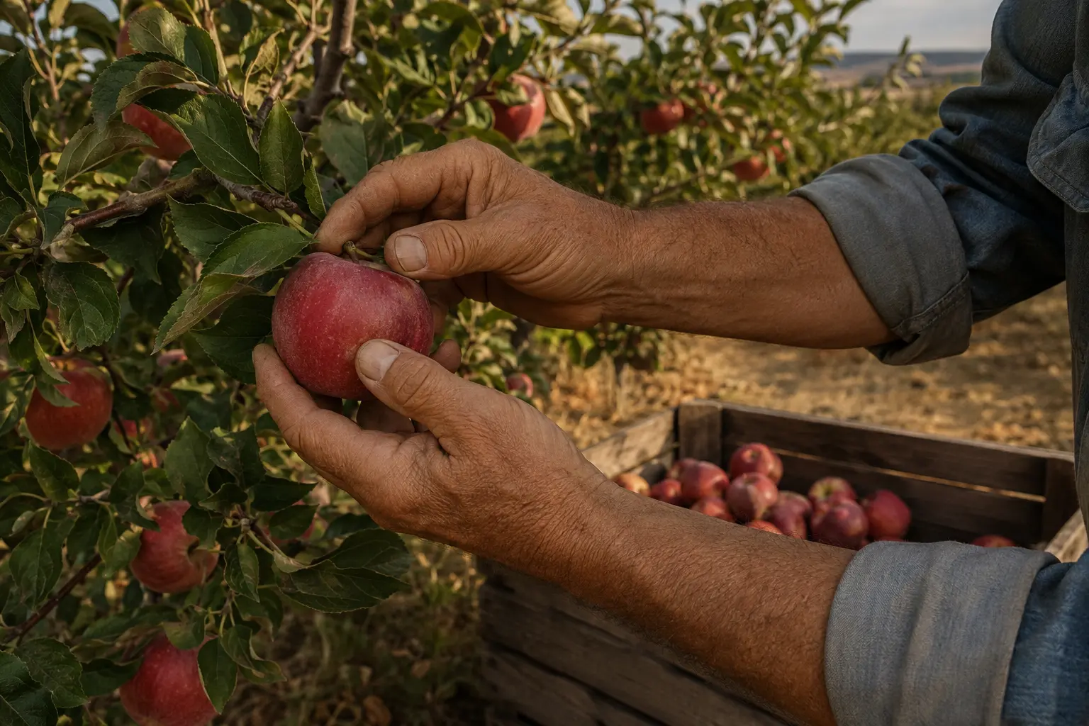
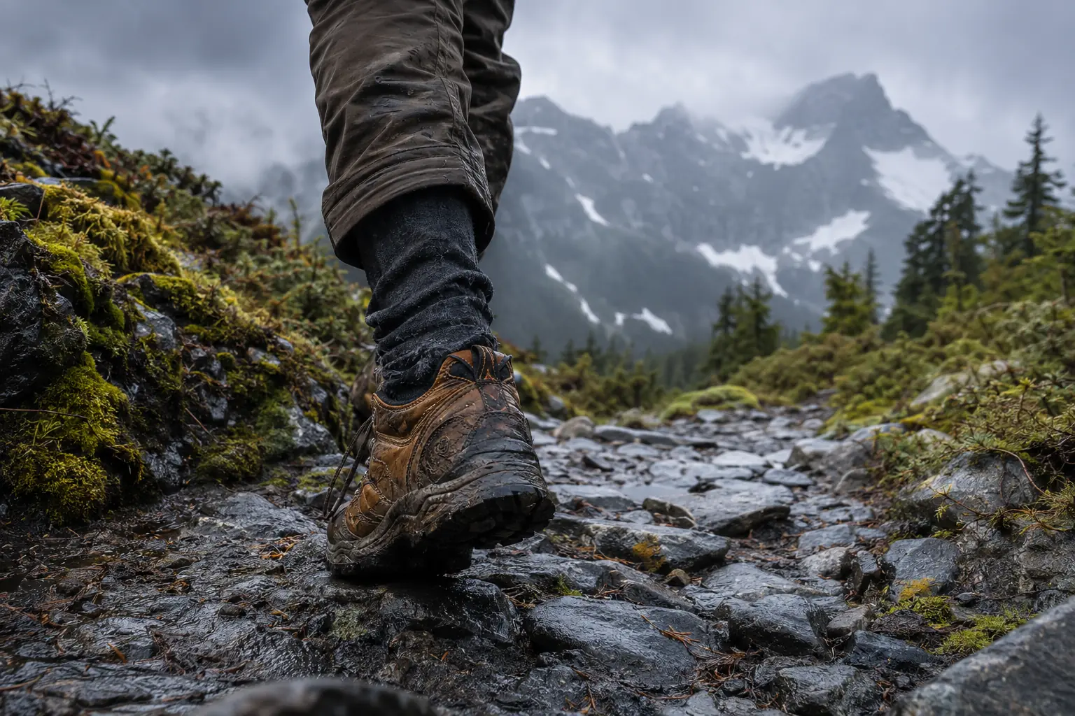
Conceptual editorial imagery, not live conditions.
Useful before beautiful
What changes the plan today?
A field guide, not a highlight reel
Follow the connections.
Ferries, passes, rivers, rail lines, migration, tribal homelands, and working landscapes explain Washington better than a collection of famous views. This site helps visitors and residents decide what to do next, without flattening the state into Seattle plus trees.
Saltwater to crest
Pack for texture, not defeat.
Low cloud, soft rain, ferry wind, dark trees, and fast-changing mountain conditions are part of the design. A waterproof shell and flexible day plan beat an overstuffed forecast app.
- Ferries set the clock
- Elevation changes the forecast
- Winter daylight is short
Nine chapters / no cloned cities
Pick a way into Washington.
01Saltwater city / neighborhood scale
Seattle
Maritime, global, inventive, compressed 02
02Civic capital / working water / the mountain
South Sound & Mount Rainier
Civic, industrial, artistic, monumental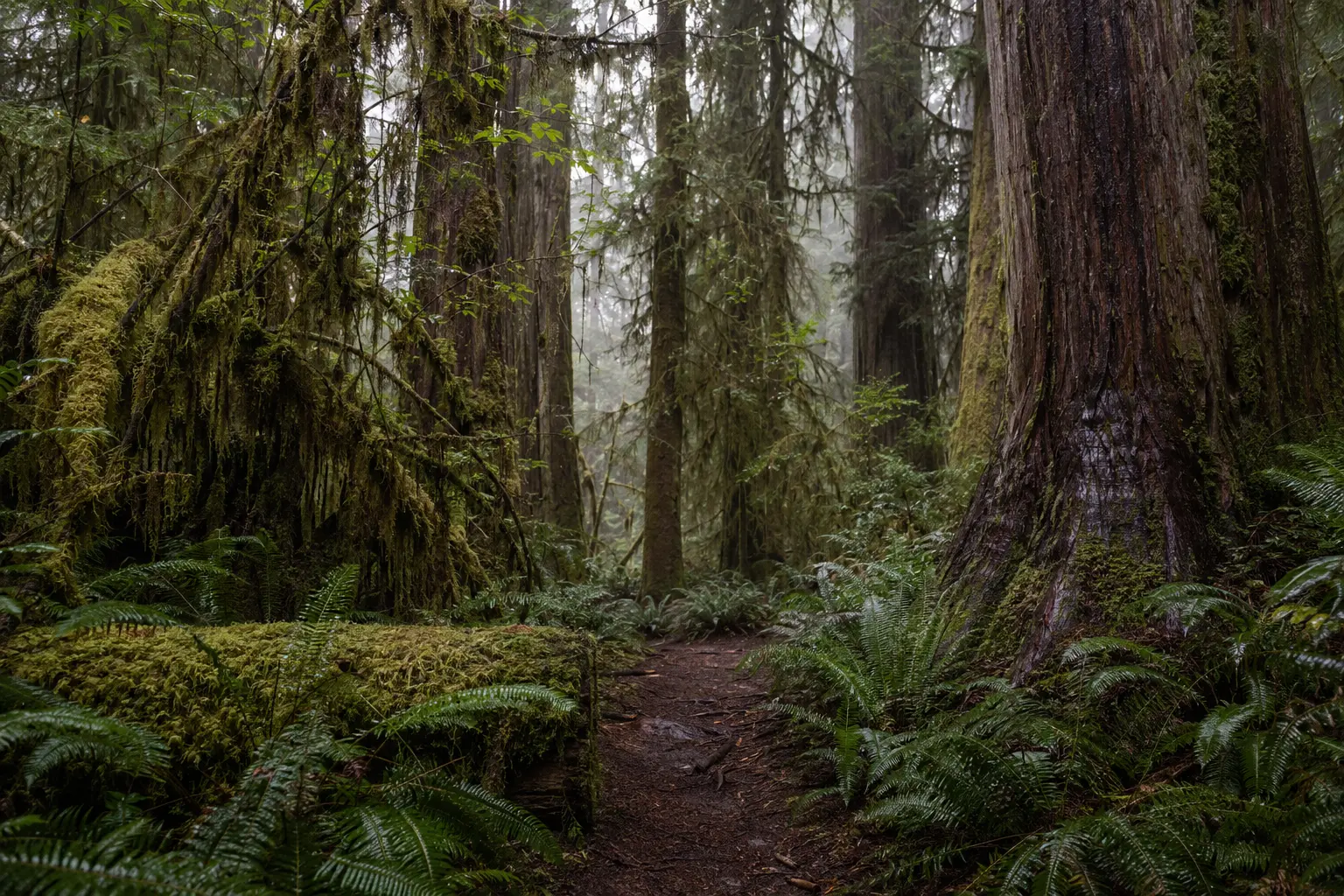 03
03Rain forest / wild coast / mountain interior
Olympic Peninsula & Pacific Coast
Elemental, rain-soaked, quiet, wild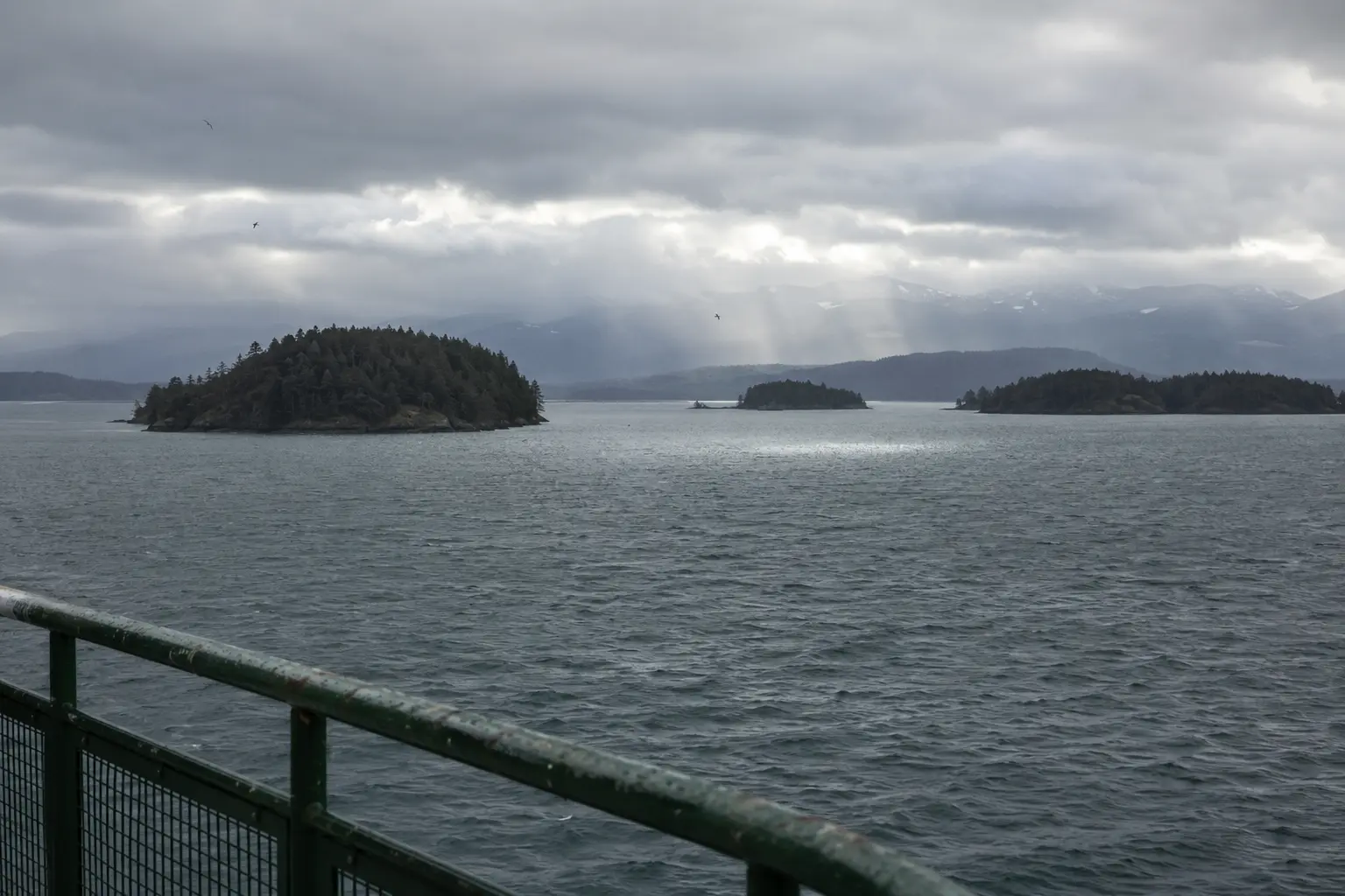 04
04Archipelago / farmland / glacier country
North Sound, San Juan Islands & North Cascades
Archipelago, farmland, creative towns, glaciers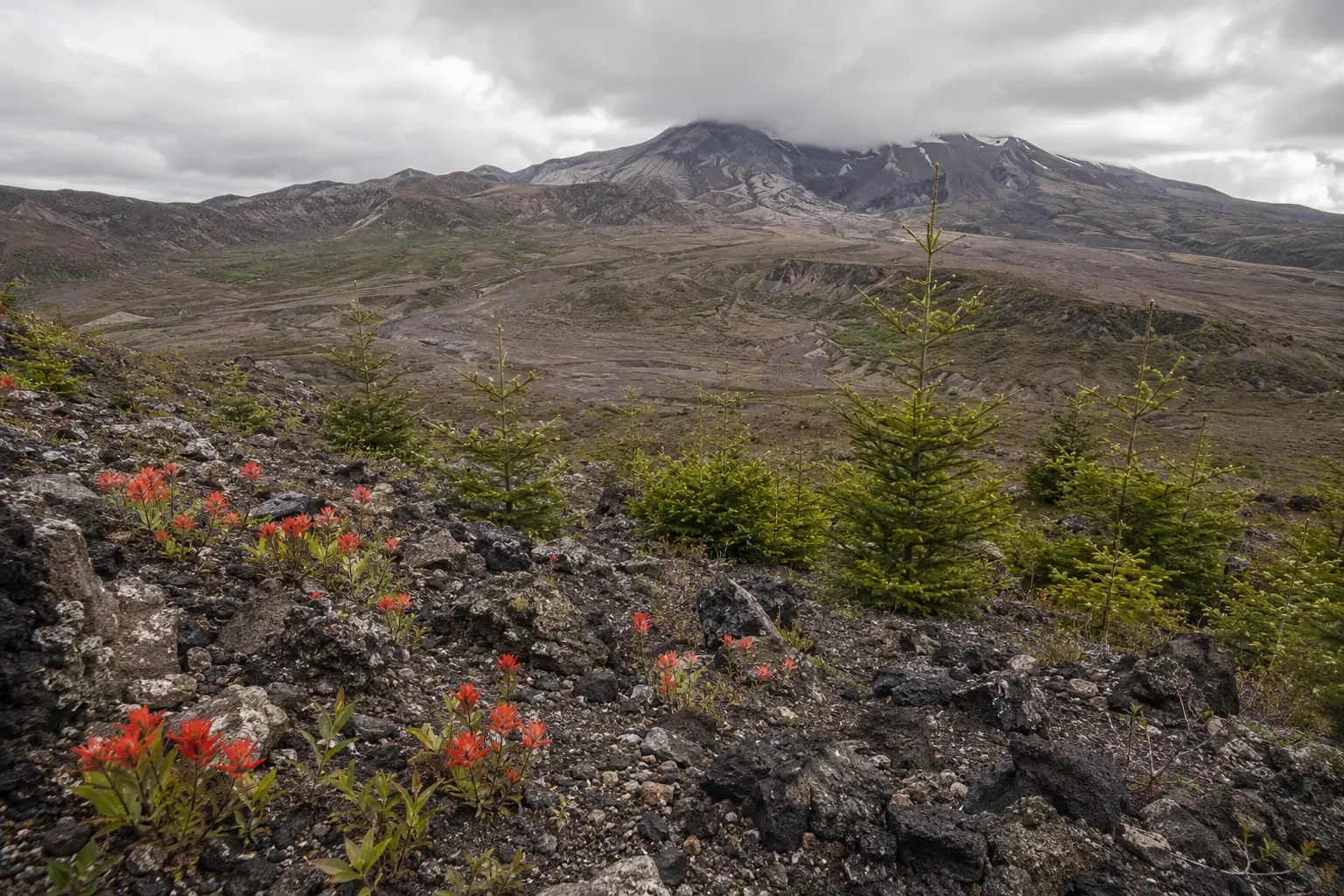 05
05River movement / eruption / regrowth
Southwest Washington, Mount St. Helens & Columbia Gorge
Volcanic, river-shaped, resilient, connected06Pass country / orchard edge / mountain towns
Leavenworth, Wenatchee & the Central Cascades
Alpine-to-orchard, festive, outdoorsy, sunlit07Working agriculture / layered culture
Yakima Valley
Agricultural, generous, sunlit, working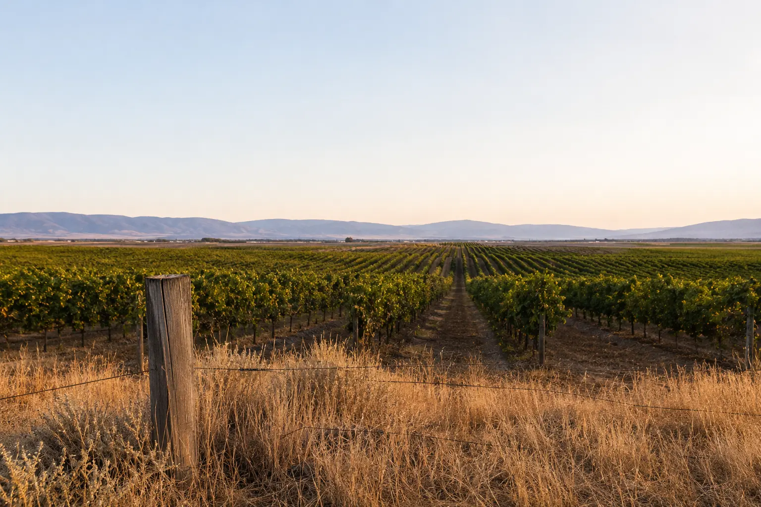 08
08Broad rivers / basalt / wine-country polish
Columbia Basin, Tri-Cities & Walla Walla
River-wide, cultivated, scientific, composed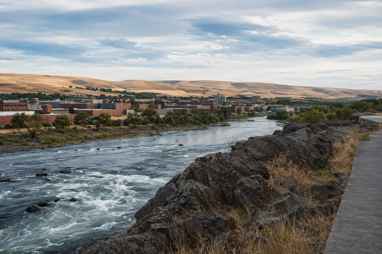 09
09Inland city / falls / rolling wheat country
Spokane & the Palouse
Inland, energetic, civic, openEdited calendar / verified July 24
What Washington is gathering for.
Seafair Weekend Festival
Seattle
August 1, 2026Rainier Music Festival
South Sound & Mount Rainier
August 8, 2026National Museum Day at Harbor History Museum
South Sound & Mount Rainier
August 29–30, 2026Great Outdoors Comedy Festival
Spokane & the Palouse
West to east / leave marginThe route builder
A useful first draft in under a minute.
Tell us how much time you have, where you start, and what should lead. We’ll connect a few strong chapters and leave room for weather.
Build a field route